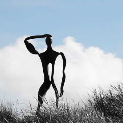
Dún Chaoin - Dunquin
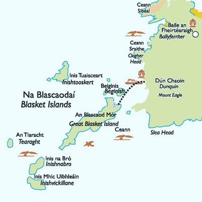
Often referred to as "the next parish to America" the parish of Dún Chaoin comprises eleven townlands on the mainland and the Blasket Islands three miles offshore
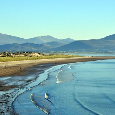
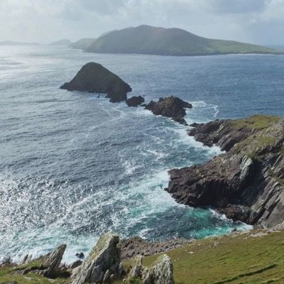
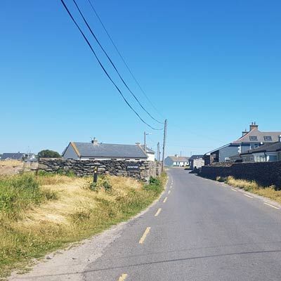
Dún Chaoin is renowned for its scenery and its surviving Gaelic culture. The spectacular views of the Blasket Islands, the rugged cliffs which make up the coastline, the picturesque, narrow, winding pathway leading to the pier and the splendid sunsets are featured in many calendars, postcards and tourist brochures each year.
Dunquin or Dún Chaoin meaning ‘Caon's fort or stronghold’ sits at the most westerly tip of the Dingle Peninsula overlooking the Blasket Islands. At 10°27'16"W, it is the most westerly settlement of Ireland. Nearby Dunmore Head is the most westerly point of mainland Ireland.
The Blasket Islands
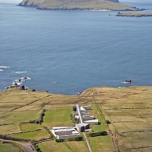
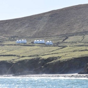
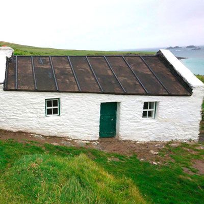
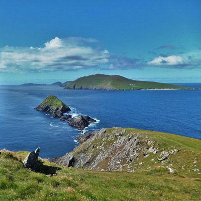
Abandoned in 1953 by a declining population these dramatic islands have captured the minds and imaginations of the world. The way of life, language, stories and ‘béaloideas’ oral tradition of a people living on the edge of Europe have been immortalised in books by the Blasket Island writers Peig Sayers, Tomás Ó Criomhthain and Muiris Ó Súilleabháín. Peig is buried in the graveyard below the road near to Dunquin pier. Remains of the houses on the Great Blasket are visible from the mainland. A few hardy individuals stay on the island during the summer, making crafts or facilitating day trippers. See Blasket Islands
Dunquin and Hollywood
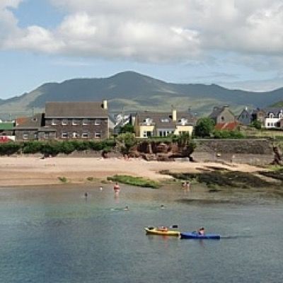
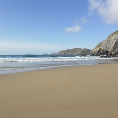
Scenes from the 1970 film Ryan's Daughter were shot at Coumeenole Beach (Trá Com Dhíneol) and on the Ceathrú (Ferritersquarter) in Dunquin.The area's then struggling economy was largely revived by the production of the film. Remains of the schoolhouse built for the film can still be seen near the Blasket Island Centre. Ron Howard filmed the village scenes from Far and Away 1992 in An Ghráig beside Clogher Head (Ceann Sratha). More recently Dunmore Head’s craggy coastline made an ideal place to hide Luke Skywalker’s X-wing featured in Star Wars and for the green milk scene on Ahch-To. Film Locations
Blasket Island Centre
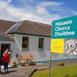
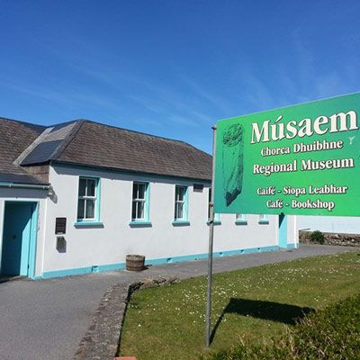
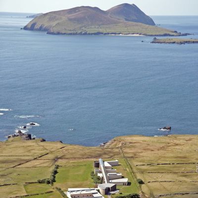
The Blasket Centre / Ionad an Bhlascaoid Mhóir in Dún Chaoin celebrates the story of the Blasket Islanders, the unique literary achievements of the island writers and their native language, culture and tradition.Through exhibitions, interactive displays, artefacts, audio visual presentations and artworks, this fascinating heritage centre/museum honours the unique community who lived on the remote Blasket Islands until their evacuation in 1953.The purpose built centre which opened in 1993 has a restaurant, bookshop, workshop and language rooms in addition to archive facilities.
Dunquin Pier
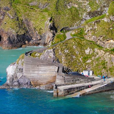
A steep and winding concrete pathway leads down the cliffs to Dunquin Pier. This is the mainland harbour for the Blasket Islands and tarred canvas covered canoes known locally as ‘naomhógs’ rest on their stands. These small boats, rowed by a crew of three or four men, were used to carry people, livestock and provisions between here and the islands. The stretch of water between Dunquin and the Blasket can be treachorous and many lost their lives here. In summer months a modern ferry brings visitors from Dunquin pier to the main island An Bhlascaod Mór (The Great Blasket).Blasket Island Tours
The Spanish Armada
In 1588 up to 24 ships of the Spanish Armada were wrecked on the Irish coastline between Antrim and Kerry. It is estimated that 6,000 members of the fleet perished in Ireland or off its coasts (Many of the survivors were put to death). A few ships took shelter in the Blasket Sound, the area between Dunquin and the Blasket Islands. On the September 21, 1588 ‘The Santa Maria de la Rosa’ sank here with one survivor of 250 on board. The ‘San Juan de Portugal’ commanded by Juan Martínez de Recalde who had experience of this coast from the 1580 siege at Smerwick Harbour also anchored here. Recalde’s ship returned to Corunna in October 1588. Of 500 men 170 died on the journey. In 1988 a monument to the Armada was erected in Dunquin.
Dun Chaoin
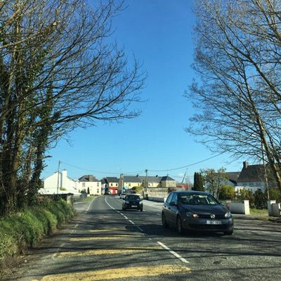
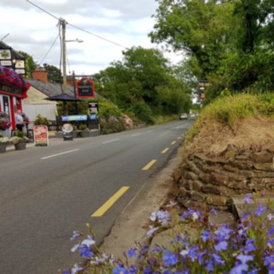
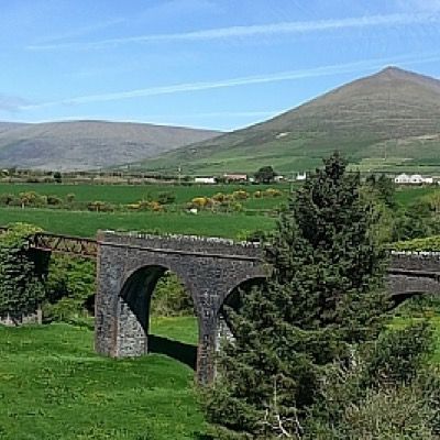
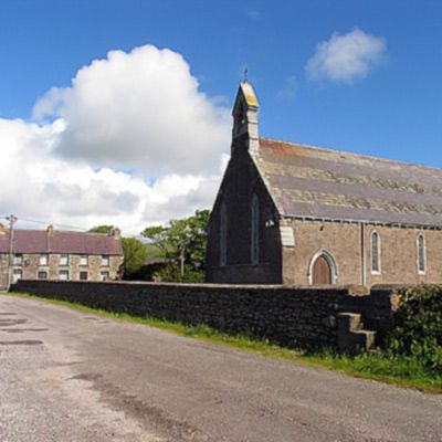
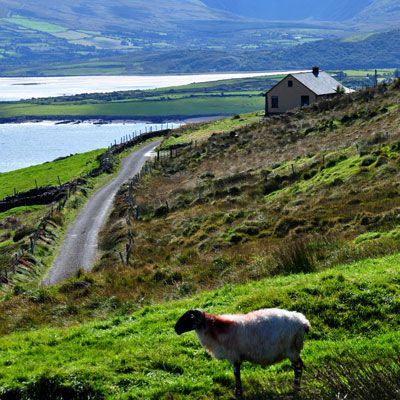
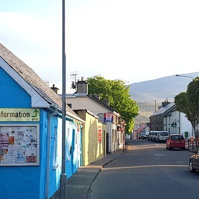
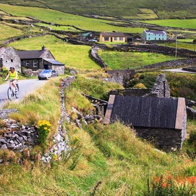
Dun Chaoin or Dunquin stretches along some of the most dramatic vistas of the Slea Head drive on the Wild Atlantic Way. Dry stone built walls and old farm buildings cling precariously to the steep sloping land between the sea cliffs and Mount Eagle. There was a parish church here by the end of the 13th century. The area has been a noted centre for visitors interested in the Irish language and the famous Kruger's bar welcomed many writers, scholars and artists. The Mám Clasach is a steep narrow road that rises up behind Dunquin to bring you over a pass to Ventry. This is a great walk with fantastic views north and south of the peninsula from the top. Walking is the best way to appreciate the stillness and natural beauty of this whole area and there are a number of walk routes here including the Dingle Way. Dingle Way
How to get to Dunquin
Directions: Dunquin /Dun Chaoin is approximately 20 km from Dingle Town on the Slea Head Drive R559. The alternative route is 15.4km using a narrow steep road from just after Ventry village known as 'The Clasach.' This road is single lane and not suitable for larger vehicles.
Dunquin - Dún Chaoin
Dunquin Pier
Blasket Island Centre - Ionad an Bhlascaoid Mhóir
Dunquin - Directory
-
See & Do
What to see and do in Dunquin -
Eat & Drink
Places to eat in Dunquin -
Stay
Where to stay in Dunquin -
Shop Dunquin
Places to shop near Dunquin
