The Dingle Way
This long distance walking trail ( 176 km /109 mile) is the ultimate way to tour the Dingle Peninsula and can be done as a whole trail in 7 to 8 days or it can be broken into shorter sections which can be easily walked in a day. We recommend you sample at least one short part of this walk while on the Dingle Peninsula and plan to return for a longer version next time you visit!
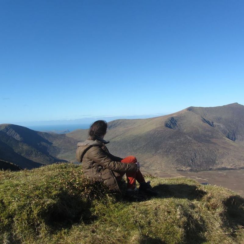
The circular trail around the Dingle Peninsula starts in the foothills of the Slieve Mish Mountains (Sliabh Mis) on the north east of the Dingle peninsula, crosses to the south shore going west towards Slea Head. From Dunquin and in view of the Blasket Islands the walk meanders north around Mount Brandon, then east along the breathtaking coastal landscape of Brandon Bay and the Maharees back towards Tralee.
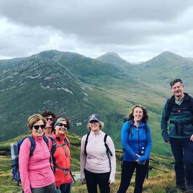
Most of the walk is on quiet tarmac roads, mountain, field and cliff paths,with over 20km of beach walking. The route is known for spectacular, varied scenery and passes close to many cultural, archaeological and historical sites.
The Dingle Way is a well-serviced trail, passing through many picturesque villages and Dingle town. With only a few hours walk between villages, food and drink can be bought along the way and accommodation can be booked close to the trail.
For more detailed information about this see The Dingle Way Website
Dingle Way - Overview Map
Map 1 Tralee to Derrymore
Map 2 Derrymore to Knockbrack
Map 3 Knockbrack to Inch and Annascaul
Map 4 Annascaul to Lispole/Lios Póil
Map 5 Lispole to An Daingean/Dingle
Map 6 An Daingean/Dingle to Cill Mhic an Domhnaigh
Map 7 Cill Mhic an Domhnaigh to Dún Chaoin and Baile an Fheirtéaraigh
Map 8 Baile an Fheirtéaraigh to Feohanagh
Map 9 Feohanagh to Más an Tiompáin
Map 10 Más an Tiompáin to Cé Bréanainn
Map 11 Cé Bréanainn to Stradbally
Map 12 Stradbally to Castlegregory
Map 13 Castlegregory to Camp